Overview
Mapping Self in Society (MaSelfS) is a teaching and learning framework that helps people explore the connections between their daily movements and the communities they're part of.
About the Framework
The framework uses free, open-source mapping tools for learners to collect and visualize personal movement data. Through three focused activities, participants build skills in data collection, visualization, and critical analysis.
MaSelfS guides exploration of fundamental questions about personal geography, including:
- How do I allocate my time across different places, and why?
- What connections exist between my movement patterns and community involvement?
- How does reflecting on personal data relate to concepts of fairness and privacy?
Three Activities
A streamlined learning journey from data collection through visualization to critical reflection.
Collect
Capturing your daily movement
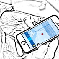
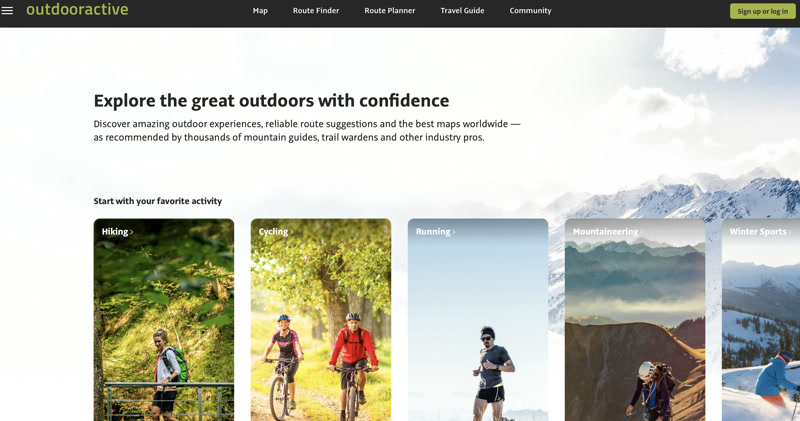
This introductory activity teaches you to collect physical movement data using OutdoorActive, a free GPS tracking application. While collecting data, you'll explore fundamental concepts of human geography and ethical data use, building a picture of your personal geography through the data you generate in daily life.
Visualize
Mapping self in society
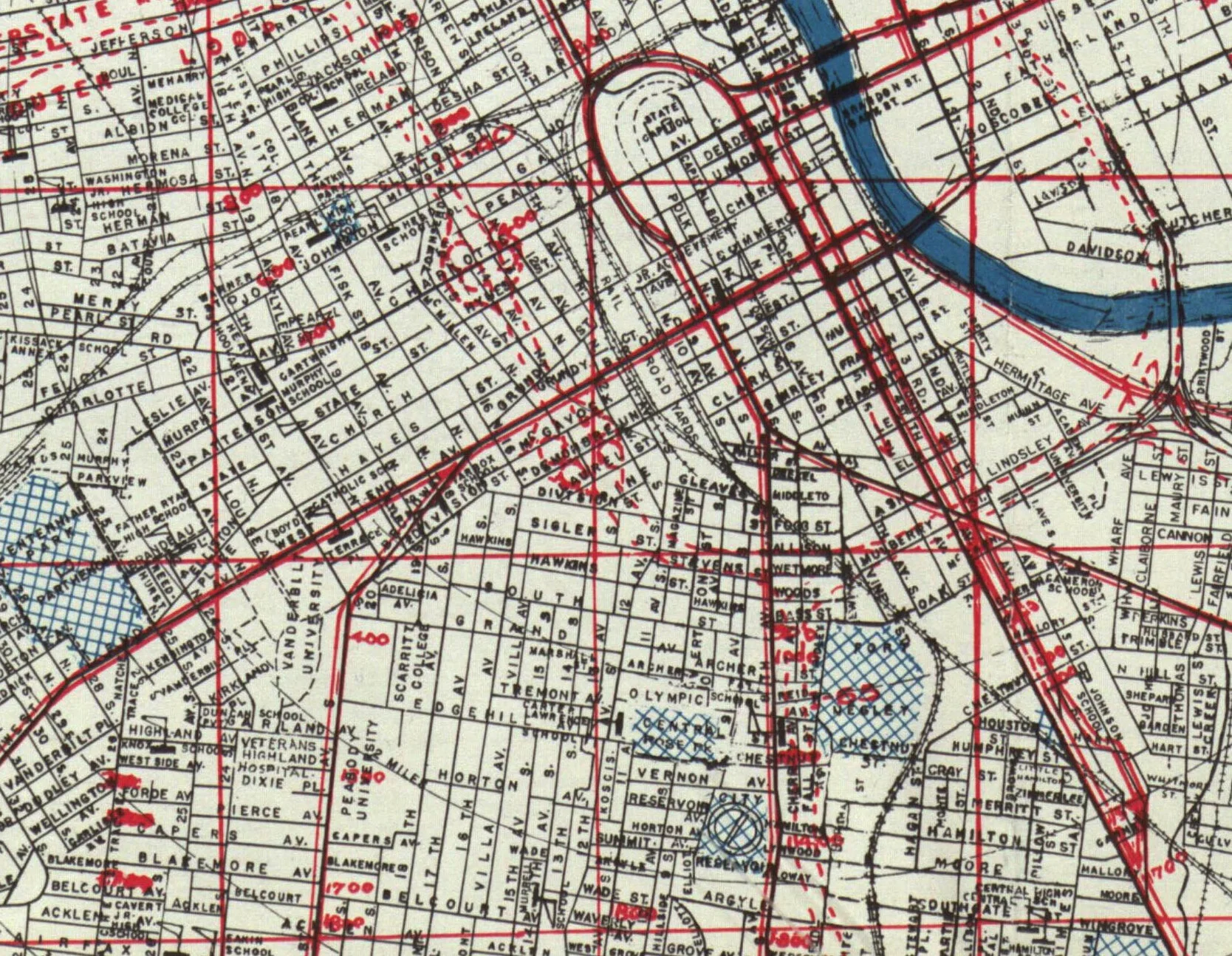
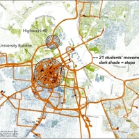
Import your GPS data into the IGS visualization tool to map your daily movements, then overlay thematic maps to see how your personal geography intersects with broader social patterns in your community.
Reflect
Data ethics & critical inquiry
Synthesize your experiences from Activities 1 and 2 through guided reflection on personal geography, data ethics, and your relationship to place. Consider what your data reveals, who controls it, and what it means to see yourself as data.
Student Perspectives
Students from computer science and human geography reflect on what it means to see themselves as data.
"Gathering and reflecting on my location data in class was something I experienced for the first time. Even though my location data is publicly available through applications like Google Maps, Facebook, Weather Channel and many more; it was the first time that I got to talk about it and reflect on it face to face with other people."
"Gathering data about myself felt inconsequential at first as I already use countless technologies that rely on my sharing personal information daily. Once I was able to visualize my movements over that one day, however, I felt like these few numbers—latitude and longitude pairs on a map—revealed so much about me. I felt able to scrutinize my life in a very intimate, personal way."
"Observing and interacting with my own data felt both empowering and unsettling. On one hand, seeing my own whereabouts and patterns across several days gave me knowledge of my daily habits. At the same time, noticing the accuracy and speed at which my phone can track my location made me think deeply about the types and quantity of personal data we afford to technology companies."
"When asked to share our location data with the class, I opted out. I live alone off campus. I'm a small female. I don't want people to know where I live and when I'm home. After discussion, I realized this was a ridiculous line of thinking, as I rarely opt out of giving apps on my phone access to my location. It is interesting that I was more concerned about 30 or so of my peers viewing my data but have ignored the many companies that have access to even more information. This exercise has made me rethink who has access to my data."
Tools We Use
Free tools that make personal geography accessible to everyone.
Ready to Begin?
Start your journey into personal geography with Activity 1: Capturing Daily Movement.
Start Activity 1