Collect
Capturing your daily movement
Overview
This introductory activity teaches you to collect physical movement data using OutdoorActive, a free GPS tracking application. While collecting data, you'll explore fundamental concepts of human geography and ethical data use, building a picture of your personal geography through the data you generate in daily life.
How to Complete This Activity
Introduction to Personal Geography
Before collecting data, watch this video to understand the key concepts of personal geography and critical spatial inquiry that frame this activity.
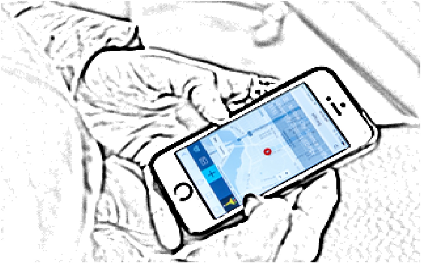
Set Up Your Tracking App
Download the free OutdoorActive app from the App Store or Google Play. Create an account and familiarize yourself with the interface. Watch the video below for a walkthrough.
Take a Practice Run
Before collecting real data, do a short test: start recording, walk around your building or block for 5-10 minutes, then stop and save the track. Check that your path appears on the map. This ensures the app is working correctly.
Record Your Daily Movements
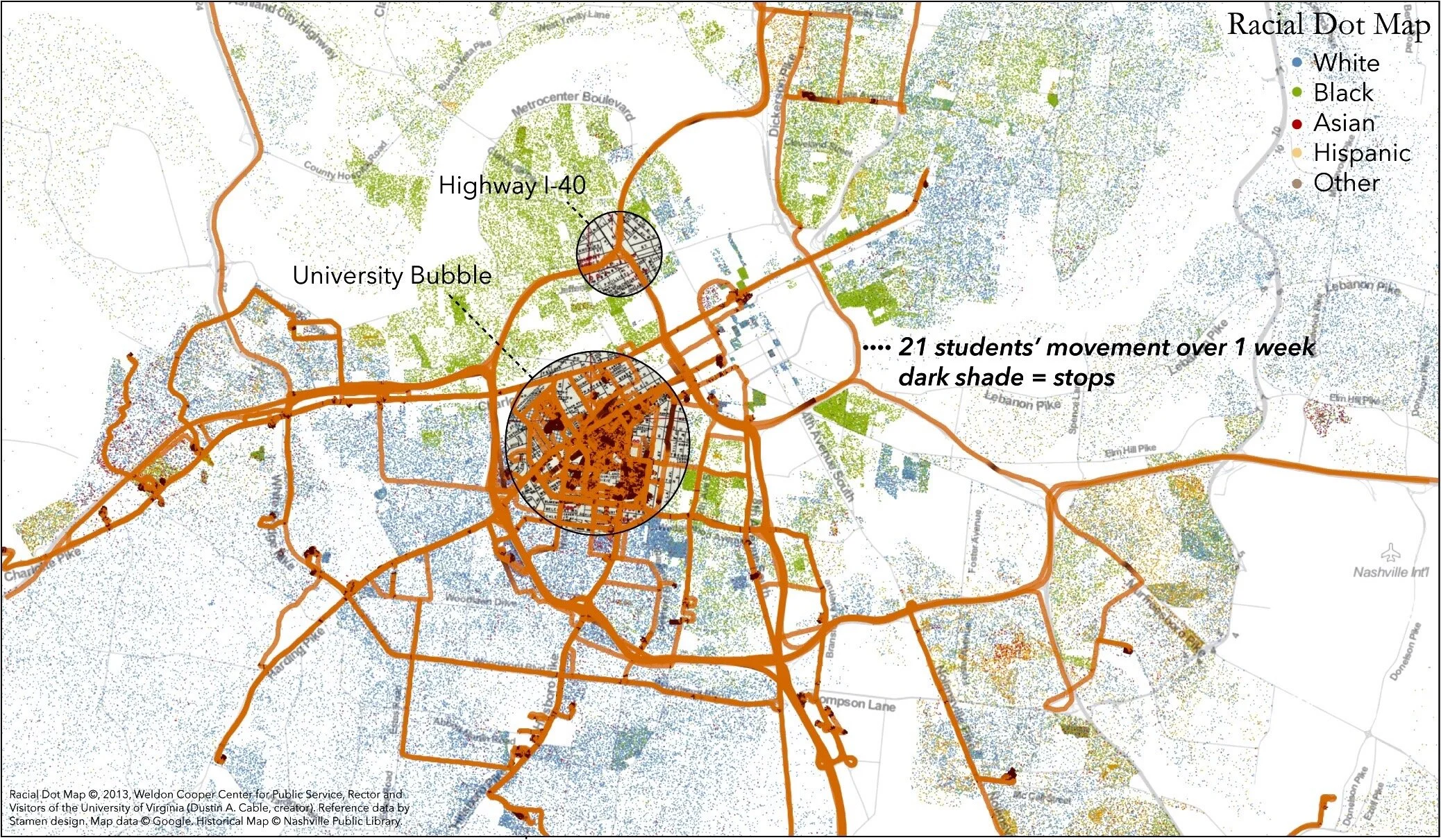
Each day, start recording before you leave home. Go about your normal routine—the goal is to capture authentic movement, not special trips. At the end of each day, stop recording and save your track with a descriptive name (e.g., "Monday Commute + Errands"). Collect for at least one day, though one week reveals richer patterns.
Important Considerations
- You own your data completely. You decide what to collect, keep, share, or delete.
- Location data can reveal sensitive information about your habits, relationships, and frequently visited places. Only share what you're comfortable with.
- You can opt out or pause collection at any time—skip recording on days you prefer to keep private.
- Before sharing with classmates or instructors, review your tracks and remove any you'd rather keep private.
Guiding Questions
How do companies and organizations use location-based data?
What patterns exist in my daily mobility and movements?
How does my daily geography compare to others in my community?
What design choices in technology affect how personal data is collected?
Who has control over personal data once it's collected?
What are the implications of tracking and quantifying daily life?
How might location data reveal aspects of identity and social position?
Key Concepts
Personal Geography
The spatial patterns of an individual's daily life, including where they go, how often, and for how long. It reflects relationships between a person and the places they inhabit.
Personal Data
Information that relates to an identified or identifiable individual, including location data, movement patterns, and temporal information about activities.
Physical Movement Data
GPS coordinates and related information that track a person's location over time, creating a digital record of their movements through space.
Daily Round
The routine spatial patterns of daily life, including commutes, errands, and regular activities that create predictable movement through geographic space.
Quantified Self
The practice of self-tracking with technology to acquire data on aspects of daily life, including location, activity, and behavior patterns.